New York City
And… the New York City redistricting process has also devolved
The city Districting Commission voted to reject the latest draft maps, throwing the process into disarray.
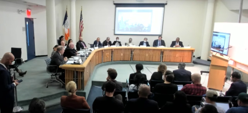
The New York City Districting Commission meets Thursday Sept. 22 Screenshot via Youtube


So much for New York City showing up the state with a less dramatic redistricting process. The New York City Districting Commission voted down a new set of proposed City Council maps on Thursday, with appointees of Republican Council Minority Leader Joe Borelli on the commission – and several appointees of Mayor Eric Adams – shooting down a plan that would have stretched one of Staten Island’s three council districts into Brooklyn.
The new maps, which were shared with journalists and stakeholders earlier this week before Thursday’s commission meeting, would have undone a number of controversial changes in an earlier draft released in July – including the move to maintain three districts fully self-contained on Staten Island, despite the borough barely having enough population to warrant three full districts. New York City’s population grew by roughly 630,000 people between 2010 and 2020, which requires the average size of each of the council’s 51 districts to grow now too.
*Better* maps to come (1 pm-ish?), but here are the New York City City Council second draft maps currently being discussed/reviewed by the Districting Commission. pic.twitter.com/dKHL6BlR1n
— Jeff Coltin (@JCColtin) September 22, 2022
In order to send this latest set of maps to the City Council – one of the final steps in the city’s redistricting process – nine of the commission’s 15 members needed to vote in favor on Thursday. But eight of the commission’s members voted against sending the updated maps to the City Council, with some of them referencing the splitting up of Staten Island’s Mid-Island District 50 into a section of Bath Beach and Fort Hamilton in Brooklyn.
The preliminary draft maps released in July would have maintained Staten Island’s three self-contained districts, similar to what the borough currently has, despite Staten Island’s population growing less than the other boroughs over the last decade. Staten Island’s population grew by 5.8%, the Bronx’s grew by 6.3%, Manhattan’s grew by 6.8%, Queens’ grew by 7.8%, and Brooklyn’s grew by 9.2%. But critics of that map pointed to the decision to keep Staten Island’s three districts whole as causing a cascade of other issues with the map. Criticisms of the July draft included complaints about looping Roosevelt Island into a Queens-based district, dividing a large group of Black co-op owners in Queens’ Rochdale Village, and splitting up Hispanic voters in Red Hook and Sunset Park into separate districts. Though the latter move would have allowed for the creation of a new majority Asian district in Brooklyn, it also would have forced a showdown between current Council Members Justin Brannan and Alexa Avilés.
In the updated map proposal that was voted on on Thursday, those changes were all reversed. Roosevelt Island would stay with Manhattan. Rochdale Village would stay united. And Brannan and Avilés would avoid a showdown while still managing to create a new Asian majority district in Brooklyn, in light of the massive jump in the city’s Asian American population over the last ten years. (Though Council Member Ari Kagan’s district may have been a casualty.) The rub, for some of the commission members who voted down the new map on Thursday, is that the new map would also stretch one of Staten Island’s districts into Brooklyn.
“A few individuals undid some of the work of the many,” said Mike Schnall, a commissioner appointed by the City Council’s Democratic majority who voted against sending the new map to the City Council. “Staten Island deserves the same respect and chance at self-determination that the other boroughs enjoy.” Schnall took issue with Staten Island being blamed for domino effect changes on the rest of the map throughout this process. Schnall said that he also objected to changes in the ratio of the 8th District shared between Manhattan and the Bronx, which he said could dilute the potential increase in Bronx political power in a district that currently favors Manhattan.
Maria Mateo, a commissioner appointed by Mayor Adams, also voted against sending the new maps to the City Council, saying that she heard concerns from the Dominican community about changes in Manhattan’s 2nd and 7th Districts diluting the Dominican vote. Other commissioners who voted against sending the map to the City Council did not elaborate much on their specific objections to the map.
But Borelli, who represents Staten Island, has made no secret of his opposition to the proposal to stretch one of the borough’s districts into Brooklyn. The council’s Republican minority, led by Borelli, is responsible for appointing three of the commission’s members, while the Council’s Democratic majority appoints five members and the mayor appoints seven. Four of the mayor’s appointees to the commission voted against the map on Thursday, including Mateo, Joshua Schneps, Lisa Sorin and Kai-Ki Wong.
Following the release of the first set of draft maps in July, Politico reported that Borelli had wielded an outsized influence on the initial district lines that kept Staten Island’s three districts whole and largely unchanged.
Reactions to the commission’s move to vote down the new maps included a renewed suggestion from Brannan to expand the number of seats on the City Council beyond 51 in light of the city’s population growth over the past decade. “In 1991, to better reflect NYC's growing population & diversity, the @NYCCouncil expanded from 35 to 51 seats. At that time NYC population was ~7.3 million,” Brannan tweeted. “31 years later, there are ~1.5 million *more* New Yorkers but still 51 seats on the Council. Does that make sense?”
The New York Immigration Coalition said that the new maps included improvements in the configuration of South Brooklyn’s council districts to ensure Asian and Latino population growth was reflected, but continued to split immigrant communities in Southeast Queens and the Northwest Bronx. The immigration advocacy group didn’t comment on the configuration of Staten Island’s districts. “By not moving the proposed maps to a vote by the NYC Council, we hope the Commission will use the time to work to ensure that more New Yorkers are heard in this process,” NYIC Executive Director Murad Awawdeh said in a statement.
The vote on Thursday came as a surprise to some of the commission’s leadership. Last week, commission spokesperson Eddie Borges told The City that voting down the map was “not even a prospect.” Had this version of maps been approved, the City Council would have had a chance to review them before sending them back to the commission for final changes. The commission is expected to submit a final plan to the City Clerk by Dec. 7, ahead of next year’s City Council elections.
Following Thursday’s vote, Borges told City & State that the commission will reconvene at some point after the Rosh Hashanah holiday next week to hold a public meeting at which the commission will deliberate on district lines with a public audience. Previously, those meetings had not been open to the public. “From now on they’re going to be public meetings,” Borges said, for the purpose of being “as transparent as possible.”
As for the version of the maps presented in a public meeting and voted down by the commission on Thursday, Borges said those won’t be posted online, “because they’re not public now.”
With reporting by Jeff Coltin.
Correction: An earlier version of this story misstated who appointed Mike Schnall to the Districting Commission.
NEXT STORY: The private sector vaccine mandate is lifted. What about the public sector?