Policy
NYC Districting Commission (finally) submits maps to the City Council
Minor changes to the map were enough to move it through, ahead of the Dec. 7 deadline
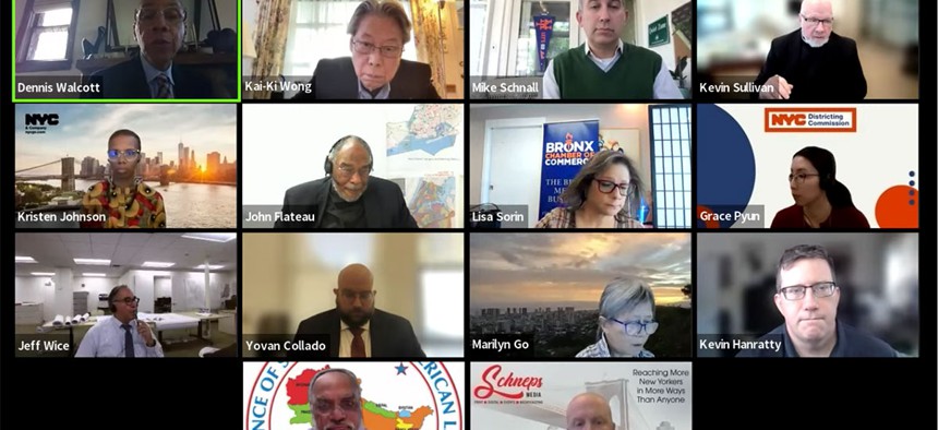
The city Districting Commission was able to come to agreement Thursday. Screenshot from Zoom/Annie McDonough

After an initial vote failed last month, New York City is one step closer to finalizing new City Council district lines. The New York City Districting Commission advanced a revised set of proposed City Council maps along to the council in a nearly unanimous vote on Thursday. (An interactive version is available here) The council will now either approve outright or, more likely, request additional changes to the maps before the commission finalizes them ahead of a Dec. 7 deadline.The Districting Commission, made up of 15 people appointed by Mayor Eric Adams, the council’s Democratic majority and the council’s Republican minority, is tasked with completing a high-stakes, incredibly public game of Tetris to update City Council districts to reflect population changes in the 2020 Census while ensuring “fair and effective” representation of racial and language minority groups.
The maps that were advanced to the City Council on Thursday are the third set the commission has unveiled. An initial proposal was released in July that triggered a citywide round of public hearings, followed by a revised proposal drawn up last month that integrated much of the feedback on that first set of maps. While the commission was expected to advance that revised set of maps to the City Council, a vote to do so failed to pass at a Sept. 22 meeting. Objections mentioned by the eight members who voted against advancing the maps included the splitting up of Staten Island’s Mid-Island District 50 into a section of Bath Beach and Fort Hamilton in Brooklyn, as well as concerns about diluting Latino votes in some Manhattan districts.
The move sent the commission back to the drawing board and triggered a change in how the commission conducted its mapping sessions. Rather than holding those deliberations behind closed doors, the commission streamed the meetings to the public. The set of maps that resulted from those sessions and that were approved to be sent to the council on Thursday make only minor changes to the revised proposal unveiled in September.
Despite its politically appointed commissioners – seven by the mayor, five by Council Speaker Adrienne Adams and three by Council Minority Leader Joe Borelli – the redistricting process is meant to be apolitical. But Mayor Eric Adams’ administration has at least twice tried to sway commissioners to vote against advancing the maps to the council because of concerns the mayor had with the maps, according to reports by Politico New York. Though that strategy appeared to work last month, all of Adams’ appointees voted in favor of advancing the maps to the council on Thursday, except for one who was not present. City Hall insiders tell City & State that Adams’ administration generally prefers maps that would elect as many moderate council members as possible and avoid empowering the city’s progressive movement.
For a while on Thursday, it looked like the commission might stall or even vote down the latest set of maps again, as a last-minute amendment requesting a change affecting two districts in Southern Brooklyn nearly threatened to open a Pandora’s box of desired shifts here and there that could cause a cascade of changes in neighboring districts. (With very strict limits on the population that each district can include, even the slightest shift of a district line often requires balancing adjustments in nearby districts.)
Commissioner Joshua Schneps, who was appointed by Adams, proposed an amendment to reunify the 8,000 people who live in the Coney Island co-op Warbasse Houses, which under the proposed map are split between District 47 and District 48. Following a long back-and-forth, the commission voted down the proposed amendment to unify the houses in the 47th District, with several commissioners noting that the council will still have an opportunity to request additional changes to the map.
The maps submitted to the council today maintained all the major edits that were released last month. Roosevelt Island is part of a Manhattan-based District 5, rather than the Queens based District 26. Staten Island’s Mid-Island District 50 still crosses the Verrazzano-Narrows Bridge to include Fort Hamilton and part of Bath Beach in Brooklyn, mirroring the 11th Congressional District and the two-borough district created in the 2002 City Council redistricting process, according to commission staff. Schnall, an appointee of the speaker and the only commissioner to vote against advancing the map to the council on Thursday, attributed his vote to his “longtime support for keeping Staten Island whole.”
Sunset Park and Bay Ridge are drawn into separate districts, meaning Council Members Justin Brannan and Alexa Avilés have avoided what could have been a contentious primary – though the Bay Ridge district now awkwardly connects to Coney Island along a thin strip of land, one block wide.
One major issue remained unchanged from the previous draft that failed to advance – Council Member Ari Kagan is getting screwed. A substantially new district with a majority Asian population was created in southern Brooklyn. And Kagan’s current district was the one that got the most carved up to create it. His own Gravesend home was drawn into the district including the more politically powerful Brannan’s Bay Ridge base (making Kagan, apparently, the only sitting Council member to be drawn out of their district). Kagan was furious, but his strategy to fight the lines – including enlisting his congressional ally Rep. Hakeem Jeffries to send the districting commission a strongly worded letter – seemed to be too little, too late. “I’m beside myself,” Kagan told City & State during the vote on Thursday. He hoped that some of his concerns could be addressed by the council, but he might not find a sympathetic ear. One Brooklyn Democrat noted that Kagan himself was flexible when it came to the moving districts – he previously run for the neighboring Council District 48 in 2013, before winning in District 47 in 2021.
Dr. Lisa Hanley, an expert on redistricting and voting rights, explained some of the updates in the latest set of maps ahead of the vote, reporting that the latest proposal has a total of 29 minority opportunity districts – one more than the current City Council map created in 2013 includes.
As the maps go to the City Council for review, the speaker’s office emailed members to set up one-on-one meetings with Adrienne Adams on Friday and early next week to share their thoughts on the districts.
Correction: An earlier version of this story misstated which district Ari Kagan’s home has been districted into. He is now in a district with Justin Brannan.
NEXT STORY: What is the Environmental Bond Act?